
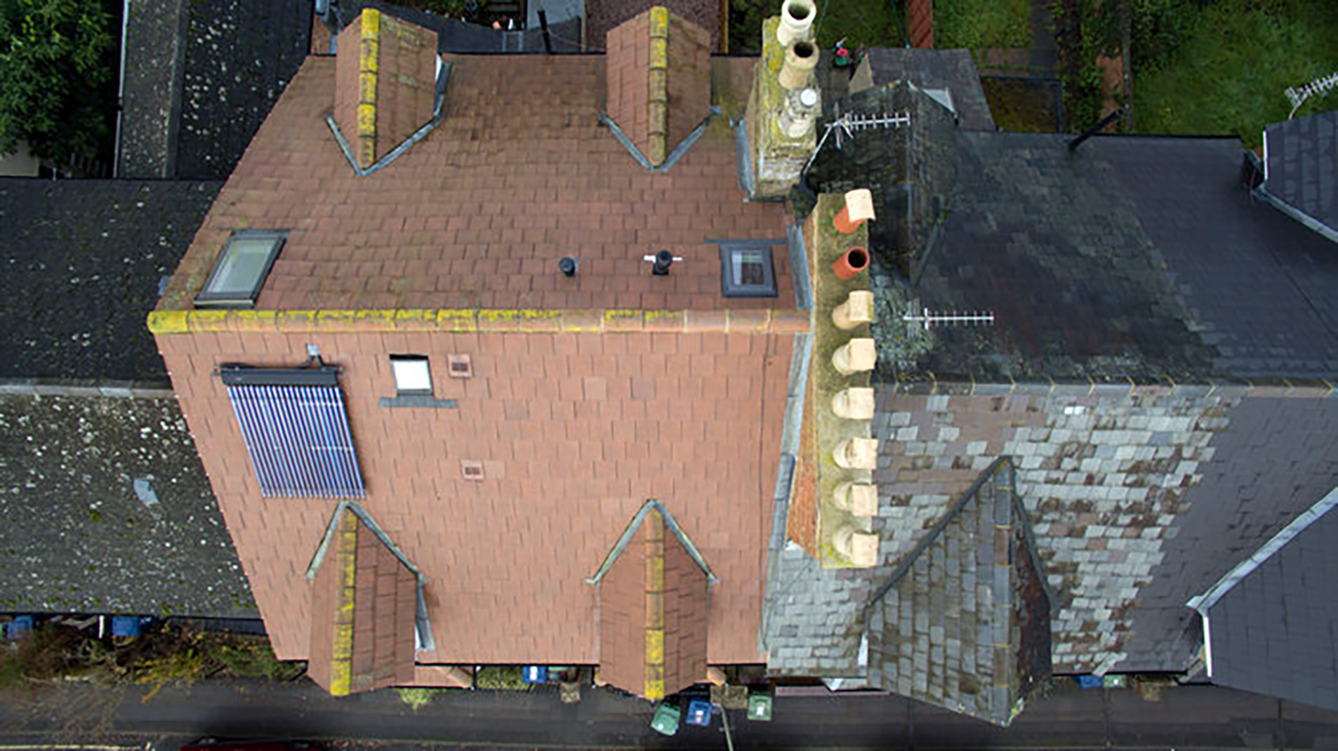
Drone Photography in Sussex
Our head office sits near Billingshurst, and we’re regularly commissioned for work around Arundel, Chichester, Horsham, Haywards Heath, Burgess Hill, and Brighton & Hove. Sites often lie along the A272 and A29 corridors, with the A24 to the east and the A27 serving coastal projects. This mix of villages, market towns, and transport routes suits both orientation frames and detailed roof work, especially where access is tight or buildings are older or complex.
Operations extend across Sussex and into the wider Thames Valley, covering Berkshire, Buckinghamshire, Essex, Gloucestershire, Hampshire, Kent, Northamptonshire, Oxfordshire, Surrey, and Warwickshire. National travel is available for specific programmes when project scope requires it.