
When Measurements Matter
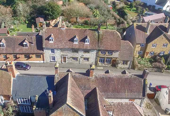
Standard drone photography delivers clear elevated imagery. When you need dimensional accuracy and data you can measure from, we use photogrammetry to produce orthomosaic maps, digital surface models, and textured 3D meshes supplied in CAD and GIS formats.
We capture both nadir and oblique photography to specification, producing datasets that support land surveying, volumetric analysis, drainage design, site planning, and building information models. It’s survey-grade work, just delivered more efficiently than traditional methods.
Safety and Compliance
Our pilots hold CAA Operational Authorisation and operate to GVC PDRA-01 standards. We carry full insurance and CITB CSCS accreditation for construction site work. Method statements and risk assessments are prepared for every project, accounting for site-specific conditions and regulatory requirements. Flights are scheduled for lighting and weather conditions that optimise both image quality and safe operations.