01628 436 494
Thames Valley Drones

Drone Surveys in Sussex

Based near Billingshurst in West Sussex, Thames Valley Drones provides professional drone surveys in Sussex that deliver reliable data for reports, planning submissions, and design work. Whether you’re assessing a Listed building in Arundel, mapping development land near Horsham, or monitoring a coastal construction site in Brighton, we plan surveys that fit your project without disruption. Drone surveys use aerial data capture to document properties, land, and construction sites from above, delivering georeferenced imagery, topographical data, and measurable records without scaffolding or lengthy site access.

Drone Surveys in Sussex

Understanding Drone Surveys

A drone survey captures high-resolution images from multiple angles, then processes them to create measurable outputs. For inspections, you receive clear photographs showing roofs, facades, boundaries, or site layouts from perspectives impossible from ground level. When measurement matters, the same flight generates orthomosaics (map-accurate 2D plans), digital surface models (terrain with elevation data), and 3D meshes (realistic digital twins). Drone surveys in Sussex typically cost a third of mechanical access methods, complete in hours rather than days, and reduce risk by keeping people away from heights and difficult terrain.

Why Sussex Sites Need Thoughtful Planning

Sussex presents distinct surveying challenges. The South Downs create sloping sites where drainage and access matter for development work. Coastal locations from Bognor Regis to Hastings bring salt exposure and planning sensitivities that influence survey timing. Market towns like Horsham, Haywards Heath, and Lewes combine period buildings with tight access, while villages along the A272 and A29 corridors often feature Listed structures and conservation areas requiring careful flight planning.

We regularly survey across both East and West Sussex, from Chichester to Rye. Coastal schemes along the A27, rural estates near Petworth and Midhurst, town-centre redevelopments in Worthing and Eastbourne, and agricultural land across the Weald all require site-specific planning. Airspace around Gatwick, Shoreham Airport, and smaller airfields adds coordination requirements, as do heritage designations across the county.

The Range of Surveys We Provide

Aerial site surveys and inspections provide construction teams with clear records of site boundaries, working fronts, haul roads, and material storage. Scheduled flights track progress across phases and support site diaries and stakeholder communications while coordinating with your team to minimise disruption.

Land surveying and mapping captures levels, gradients, boundaries, watercourses, and access routes for planning applications, design briefs, and estate management. Agricultural clients use our surveys for field mapping, crop monitoring, and infrastructure planning on working farms.

Drone roof inspections assess tiles, lead work, valleys, chimneys, parapets, and rooflights without ladders or scaffolding. Building inspections extend beyond roofs to document facades, plant areas, guttering, and service yards, helping property managers plan maintenance cycles and prioritise repairs.

2D mapping and 3D modelling uses photogrammetry to generate orthomosaics, digital surface models, and textured meshes in CAD, GIS, or BIM formats. These outputs integrate with your existing workflows, providing a single dependable reference you can measure from directly.

Aerial building inspections extend beyond roofs to document facades, plant areas, guttering, downpipes, entrance canopies, and service yards, helping property managers plan maintenance cycles and prioritise repairs across entire buildings.

Who Relies on Drone Surveys in Sussex

Construction firms, roofing contractors, property managers, and facilities teams use drone surveys to monitor progress, assess conditions, and track maintenance needs without arranging access for each visit.

Land surveyors, building surveyors, architects, and planning consultants commission our surveys for topographical data, condition records, and aerial context that inform their reports, designs, and planning applications.

Estate agents, civil engineering companies, housebuilders, developers, and housing associations rely on drone surveys for property marketing, highways projects, construction monitoring, and stock condition assessments.

Local councils, highways teams, and heritage bodies use our surveys for infrastructure maintenance, conservation area assessments, and recording Listed buildings without physical access or risk of deterioration.

Start Your Drone Survey in Sussex Today

Whether you need a roof inspection before winter repairs or detailed records of a heritage property, Thames Valley Drones delivers accurate drone surveys in Sussex tailored to your requirements. We know the area, we understand the challenges, and we plan surveys that work around your constraints rather than adding to them.

How We Plan and Deliver Your Survey

Every project begins with your brief. We discuss your requirements, outputs, and any constraints before reviewing airspace restrictions, coordinating with property owners or site managers, and arranging permissions where required. We assess access routes, pedestrian activity, nearby roads, overhead lines, and site-specific hazards, then prepare a method statement and risk assessment tailored to the conditions.

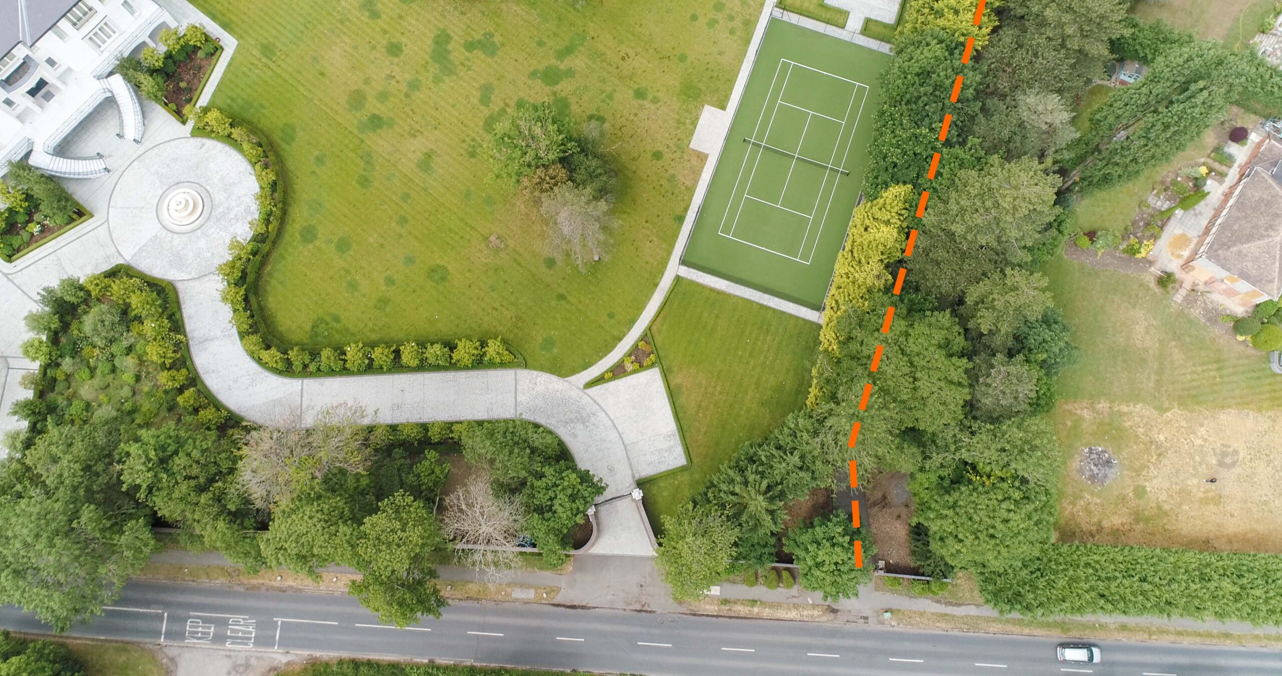
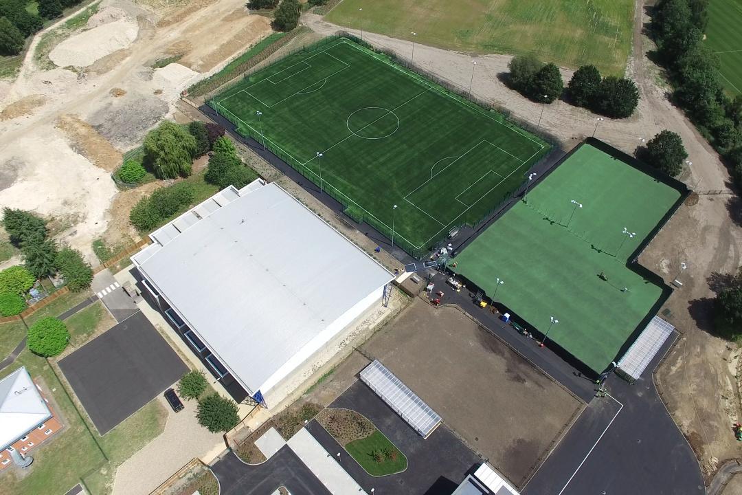
Launch and recovery points are chosen to minimise operational impact. We coordinate with site teams on construction projects, respect privacy on occupied properties, and plan around weather, light, and seasonal factors. Data is processed to your specification and delivered in the formats you’ve requested, organised for easy reference. For ongoing programmes, repeat surveys follow the same approach to ensure consistent, comparable results over time.

Professional Standards and Compliance

Our pilots hold CAA Operational Authorisation and operate to GVC PDRA-01 standards, meeting the legal and safety requirements for commercial drone operations. We maintain full public liability insurance and carry CITB CSCS accreditation for construction site work. Every survey follows structured safety protocols with documentation prepared specifically for the site and conditions we’ll encounter, protecting you, your site, and the public while delivering reliable results.

Professional Drone Surveys in Sussex

Our head office near Billingshurst puts us in the centre of West Sussex, and we’ve worked extensively across both counties. We understand the exposure on Beachy Head, the access challenges in Brighton’s seafront developments, and the sensitivities around National Trust properties like Petworth House and Nymans. Along the coastal strip, salt air and weather exposure affect buildings differently than inland properties. The Downs bring elevation and Sites of Special Scientific Interest that require careful survey planning. Villages across the Weald feature Listed farmhouses, converted oast houses, and working agricultural land where timing matters around crops and livestock.

When you commission drone surveys in Sussex from Thames Valley Drones, you’re working with a team that understands the county’s geography, built environment, and regulatory landscape.

Coverage Beyond Sussex

While drone surveys in Sussex form a significant part of our work, we operate across the Thames Valley and surrounding counties including Berkshire, Buckinghamshire, Essex, Gloucestershire, Hampshire, Kent, Northamptonshire, Oxfordshire, Surrey, and Warwickshire. Multi-site programmes are planned efficiently across county boundaries, and national travel is available when project scope requires it.