
Services Tailored to Your Project
Aerial Site Surveys and Inspections
We capture comprehensive records of construction sites, documenting boundaries, working areas, haul roads, and material storage. Scheduled flights track progress across project phases and provide visual records for site diaries and stakeholder communication while coordinating with your team to avoid disruption.
Land Surveying and Mapping
Our surveys capture levels, gradients, boundaries, watercourses, and access routes for planning applications, design briefs, and estate management. Agricultural clients across Oxfordshire use our services for field mapping, crop monitoring, and infrastructure planning on working farms.
Drone Roof Inspections
We assess tiles, lead work, valleys, chimneys, parapets, and rooflights without ladders or scaffolding, providing clear visual records of roof conditions for maintenance planning and repair prioritisation.
Aerial Building Inspections
Beyond roofs, we document facades, plant areas, guttering, downpipes, entrance canopies, and service yards, helping property managers plan maintenance cycles and budget for repairs across entire buildings.
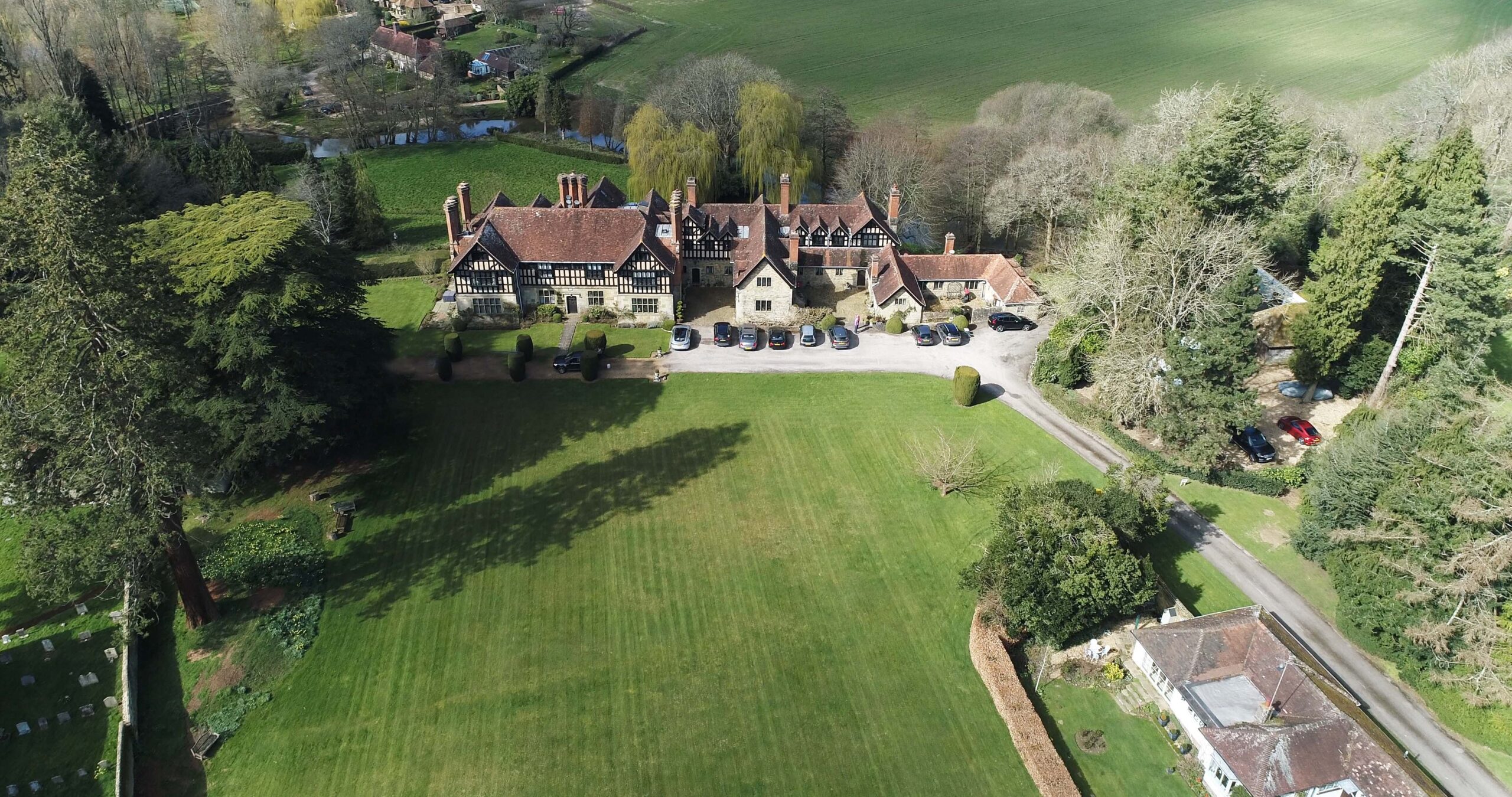
Property & Landscape Photography
High-quality aerial photography captures properties and landscapes from compelling perspectives for marketing materials, estate documentation, and visual records that showcase sites and buildings in their broader context.
2D Mapping and 3D Modelling
Using photogrammetry, we generate orthomosaics, digital surface models, and textured meshes delivered in CAD, GIS, or BIM formats. These outputs integrate with your existing workflows, providing a single dependable reference you can measure from directly.