How We Plan Your Survey
We plan each survey around your specific requirements, defined objectives and output specifications, and, of course, the site with any live-site requirements. We review site-specific requirements including operational needs, access, pedestrian routes, and nearby activity such as boundaries, roads, railways, airports & aerodromes (as well as other transport infrastructure), sensitive sites like schools, police stations, prisons, trees / treelines, and overhead lines. We carry out a formal site inspection visit and together with your requirements and our desk research, we produce a formal Method Statement and/or Risk Assessment. We arrange permissions with landowners, site managers and any airspace authorities, and choose sensible launch and recovery points to keep the site running smoothly & safely.
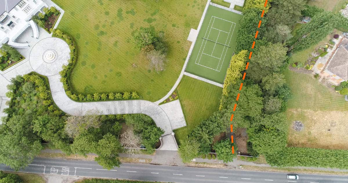
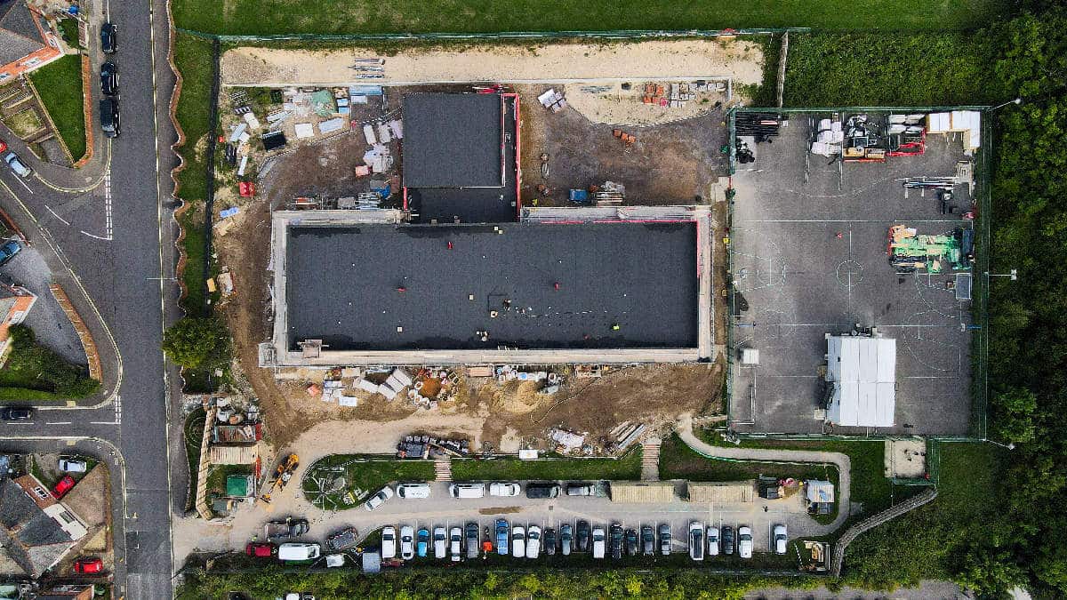
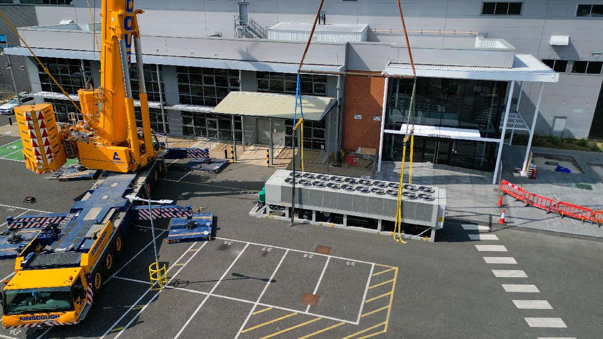
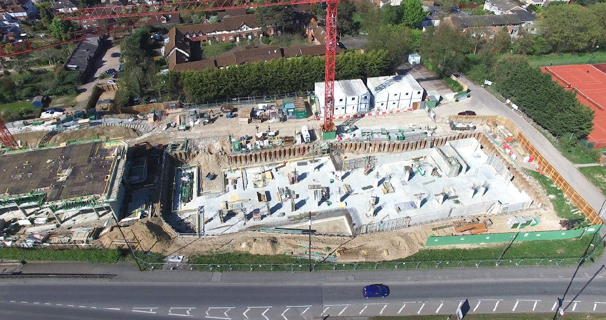
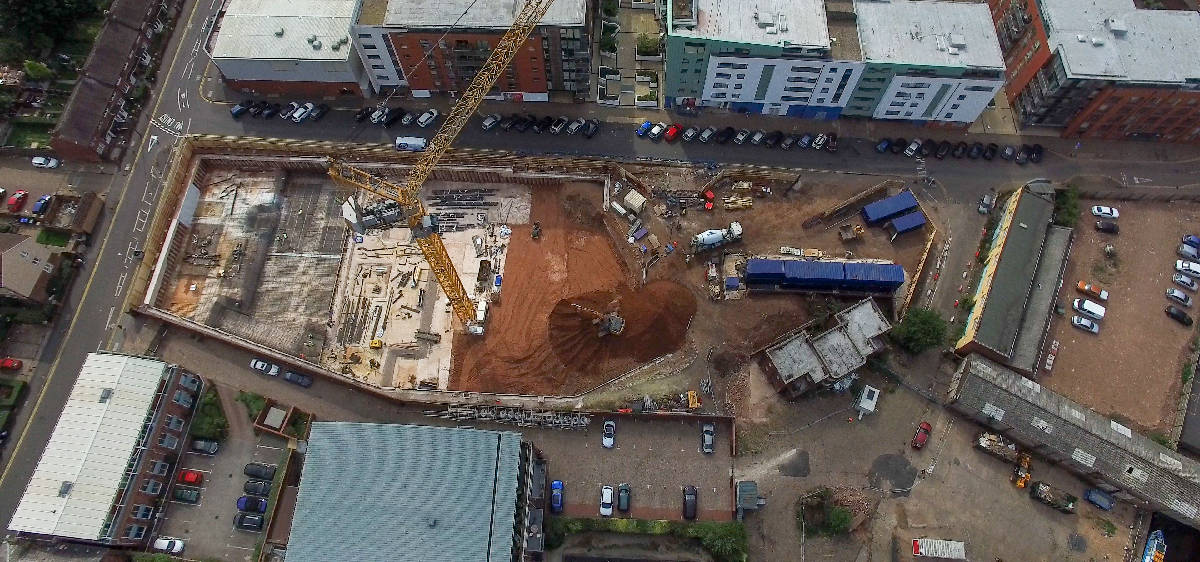
From the air we record wide overviews, as well as performing survey flights utilising the latest survey-quality drones and surveying software. These images offer high-definition detail which deliver point cloud data and its associated outputs e.g., metrics & measurements to cm or mm accuracy, orthomosaics (2D maps) and digital twin / 3D models of a site. Typical coverage includes site boundaries and compounds, haul roads and laydown areas, stockpiles, drainage routes, watercourses, habitat buffers, utility corridors, and working fronts. Where sites are large or phased, we use survey drones and survey software so results are repeatable, consistent, comparable, and easy to reference in reports and coordination meetings.
