At Thames Valley Drones, we provide professional aerial photography in Sussex that helps you see sites, buildings, and landscapes clearly from above. We are Sussex based, with regular work across East Sussex, West Sussex and beyond. Our projects range from small domestic roofs to complex sites, all planned so images are easy to review and use in your reports.
Get in touch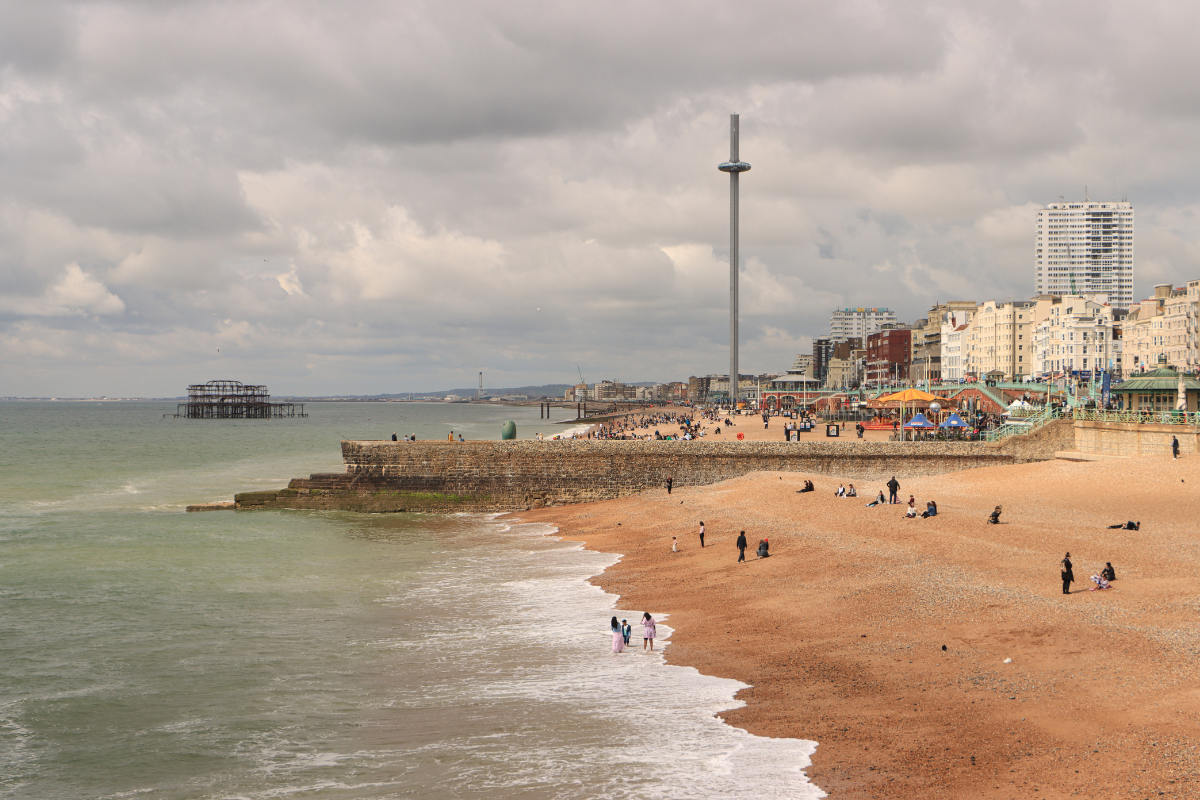
Aerial photography records still images from an elevated viewpoint. From one frame, you can read how a site sits within its surroundings, where access points lie, and how features relate on plan-ideal for aerial roof inspections. We plan vantage points to capture wide orientation shots, targeted context views, and close detail. Results are organised so they drop straight into drawings, packs, and briefs.
We provide clear, safe aerial views for a wide mix of sites. Our work covers period and listed buildings, large country estates, churches and heritage structures, coastal properties, farms, and rural holdings. We also support residential developments, high-rise and complex roofs, commercial and industrial estates, education and healthcare campuses, hospitality and leisure venues, infrastructure, and live construction. From wide context to close detail, we plan vantage points that show relationships on site, highlight access and constraints, and give teams reliable visuals for reports, planning, and maintenance.
Architects, surveyors, and project teams use our aerial images to record roof coverings, chimneys, parapets, rooflights, plant areas, entrances, service yards, and logistics routes. On larger programmes, planned flights create a visual record that supports site diaries and stakeholder updates. Where measurement is needed, we align photography with photogrammetry to produce orthomosaics, surface models, and textured 3D meshes to agreed specifications. We work with roofing contractors, estate agents, project managers, planning consultants and civil engineer companies.
If your brief links to mapping or survey outputs, we plan nadir and oblique coverage for photogrammetry. From the same flight window, we can generate map-accurate orthomosaics, digital surface models, and textured meshes, supplied in CAD or GIS formats you already use. This keeps a single, dependable visual reference for form, levels, and surroundings.
Alongside aerial photography, we deliver aerial site surveys, land surveying and mapping, 2D mapping, and 3D modelling. We carry out drone roof inspections and wider aerial building inspections for condition and access planning. These services are scoped with clear method statements and sensible launch points, then organised so outputs are easy to compare across time.
We start with your brief, then review access, pedestrian routes, nearby activity, and local constraints such as roads, treelines, and overhead lines. Permissions with owners or site managers are arranged where required. Launch and recovery points are chosen to suit the location, and each flight is covered by a method statement and risk assessment. This structured approach keeps coverage consistent, comparable, and simple to reference later.
Our head office is based near Billingshurst, we are often commissioned for work around Arundel, Chichester, Horsham, Haywards Heath, Burgess Hill, and Brighton & Hove. Sites often sit along the A272 and A29 corridors, with the A24 to the east and the A27 serving coastal projects. This mix of villages, market towns, and routes suits orientation frames and detailed roof work, especially where access is tight or buildings are older or complex. The Gatwick area around Horley, plus the Farnborough and Redhill aerodromes, often need specific planning for launch points and safe working distances.
We operate across Sussex and the wider Thames Valley as well as Berkshire, Buckinghamshire, Essex, Gloucestershire, Hampshire, Kent, Northamptonshire, Oxfordshire, Surrey and Warwickshire, with national travel for specific programmes when required.
Looking for a team who specialise in aerial photography in Surrey? Get in touch today.
Not every commission is technical. Many clients ask for aerial photographs of their home, garden, or small estate as a gift. We can combine ground and drone photography to show setting, approach, and layout in a way that reads well at a glance, which is why our site highlights property and garden imagery as a simple, thoughtful present.
If you are wanting to work with a professional drone company and are looking for aerial photography in Sussex and beyond, then Thames Valley Drones can help.
Get in touch with our team to find out more.
