Thames Valley Drones are a professional company who provide aerial photography in Surrey for properties, sites, and land across the county. We capture buildings and landscapes from above, with images supplied for surveys, inspections, and planning work.
Get in touch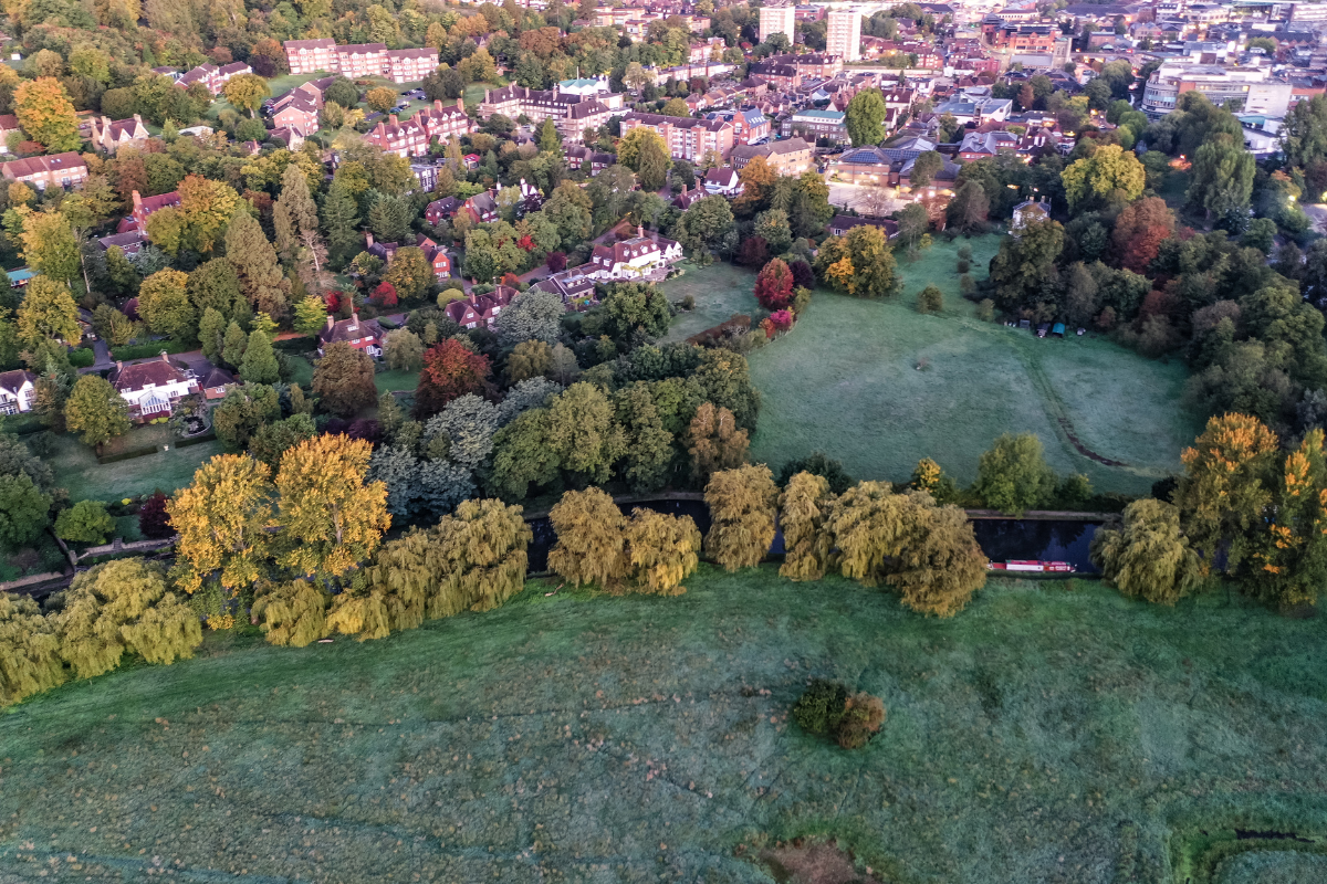
Roofs are a primary focus. We photograph coverings, chimneys, parapets, valleys, dormers, rooflights, and plant equipment for condition surveys and maintenance planning. Building envelopes, entrances, service yards, and access routes are captured for feasibility and logistics assessments.
Our work covers residential properties from period homes to modern developments, listed buildings, country estates, churches, and heritage sites. Commercial and industrial premises, construction sites, education campuses, and healthcare facilities are documented for project teams and property managers.
We photograph development land, estates, farms, and infrastructure for planning applications and progress records. Site layouts, boundaries, and topography are captured to show how sites relate to their surroundings.
We work across Surrey in the main towns of Guildford, Woking, Epsom, Reigate, Redhill, Farnham, Dorking, Leatherhead, Camberley, Staines-upon-Thames, Esher, Walton-on-Thames, Weybridge, and Egham. This is a very busy area for our teams.
Projects are planned with access in mind along the M25, M3, A3, M23, A24, and A31, so busy centres, retail parks, and business areas are straightforward to reach. Sites near Heathrow’s control zone around Staines-upon-Thames, Egham, and Sunbury, the Gatwick area around Horley, plus the Farnborough and Redhill aerodromes, often need specific planning for launch points and safe working distances.
Photogrammetry produces orthomosaic maps, digital surface models, and textured 3D meshes when measurement is required. These are supplied in CAD and GIS formats for land surveying, volumetric analysis, and building information models.
Nadir and oblique photography is captured to specification. These outputs work with drainage design, site planning, and architectural documentation.
Our clients include architects and surveyors who need images for building assessments and design work. Construction teams use aerial photography to track site progress and plan logistics. Property owners and estate managers commission surveys for maintenance and planning purposes. Developers use the imagery for feasibility studies and presentations. We work with roofing contractors, estate agents, project managers, planning consultants and civil engineer companies.
Flight planning and image organisation are determined by your brief. Images are supplied in formats for reports, CAD packages, and planning submissions.
Site assessment covers access, pedestrian activity, overhead obstacles, and aviation constraints. Method statements and risk assessments are prepared for every flight.
Pilots hold CAA Operational Authorisation and work to GVC PDRA-01 standards. We carry full insurance and CITB CSCS accreditation for construction site work.
Looking for a team who specialise in aerial photography in Surrey? Get in touch today.
Alongside technical work, clients often ask for aerial photographs of a home, garden, or small estate as a gift. We can combine ground and drone images to show setting, approach, and layout in a way that looks good in print or a digital album. It is a straightforward way to record a property at a particular moment.
Drone roof inspections for residential and commercial buildings, aerial building inspections, aerial site surveys, 2D mapping, 3D modelling, and drone video are available alongside photography. Services can be combined within single visits. We photograph homes and gardens as personal commissions. Aerial and ground views show properties and surrounding areas.
As well as Surrey, we cover Berkshire, Buckinghamshire, Oxfordshire, Hampshire, Warwickshire, and Sussex. We can go slightly further afield, but the Thames Valley is the main area for our team
