01628 436 494
Thames Valley Drones

Aerial Photography in Berkshire

Thames Valley Drones provides drone aerial photography in Berkshire for property owners, construction sites, and professional teams who need accurate visual records from above. We work across the county, from busy urban centres to quiet rural holdings, delivering images that are organised, usable, and ready for your reports and documentation.

Get in touch
Aerial Photography in Berkshire

Aerial photography for technical projects

A drone gives you angles that ground-based photography cannot. For roofing contractors, roof condition becomes visible without scaffolding. Site layouts read clearly against surrounding context. Building relationships to boundaries, access routes, and neighbouring properties appear in single frames. For architects working on extensions, surveyors assessing large roofs, or project managers tracking construction progress, these images cut through ambiguity. They record what exists now, in detail you can measure against later. Aerial photography can also be used for estate agents, schools, care-homes, hospital or health care properties, and many other businesses that would benefit from having that Birds Eye view.

Photographic coverage and survey outputs

We photograph roofs, elevations, entrances, service yards, and site perimeters for condition surveys, planning applications, and project monitoring. When measurement is required, we use photogrammetry to produce orthomosaics, digital surface models, and 3D meshes in CAD or GIS formats.

Beyond standard photography, we provide drone roof inspections, land surveys, 2D mapping, and 3D modelling, aerial building inspections, and property and landscape photography. Each job includes a method statement, and outputs are organised for straightforward reference and comparison over time.

Get In Touch

Clients and sectors we serve

We work with architects, structural engineers, building surveyors, project managers, construction firms, property developers, estate managers, and facilities teams. Sectors include listed buildings and heritage properties, period estates, churches, farms and rural land, housing developments, commercial and industrial buildings, schools, hospitals, hotels, leisure facilities, and active construction sites. The common thread is that someone needs to see something clearly, record it properly, or plan work based on what the images show.

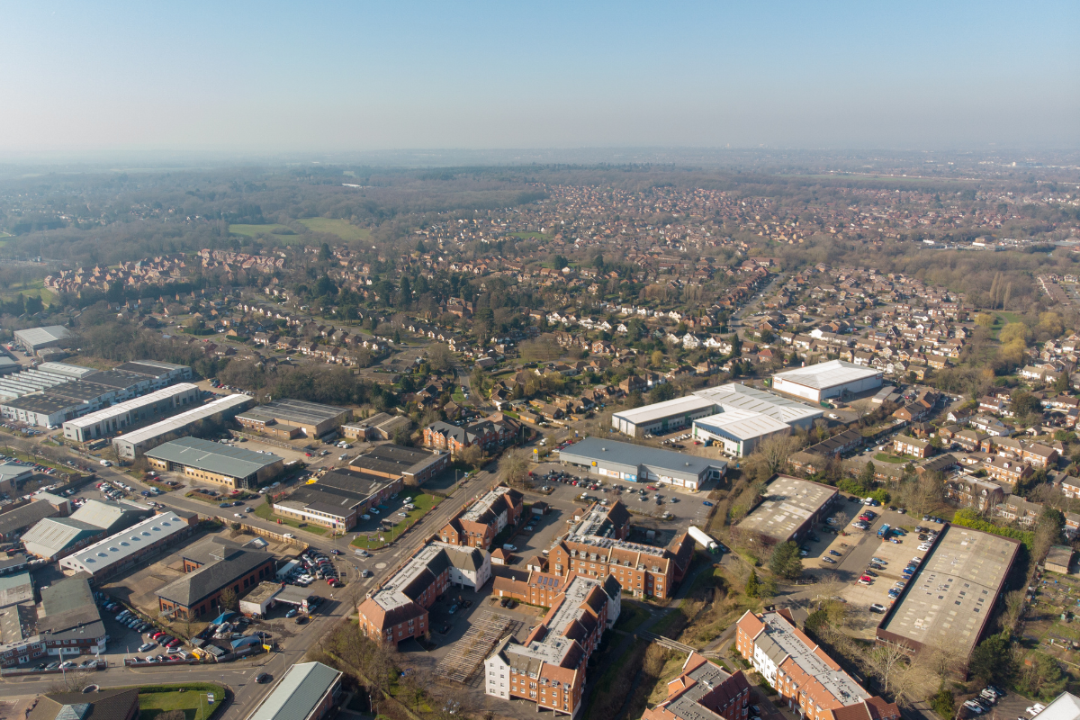
Working across Berkshire

Berkshire runs from the Thames corridor through the M4 towns of Reading, Maidenhead, and Slough, down to the chalk downland and rural areas around Newbury and the county’s southern borders. We work in dense urban environments where access is tight, heritage sites with airspace restrictions, and open rural holdings where distance is the main consideration. Each location requires different planning, launch zones, permissions, and flight paths are adjusted to suit the site and its surroundings.

Our approach to site work

We begin by understanding what you need the images to show. Then we review the site, access points, pedestrian activity, vehicle movements, overhead cables, trees, and any airspace restrictions. If the site is not yours, we coordinate access with whoever controls it. Every flight is covered by a risk assessment and method statement. We choose launch positions that suit the environment and keep disruption minimal. This structure keeps our work consistent, and it makes results easier to file and reference when you need them again.

Residential and garden photography

Not every job is technical. Some clients want aerial views of their home and garden as a personal record or gift. These commissions combine drone and ground photography to show the property’s layout, approach, and setting. The images work well framed, and they capture something you cannot see from the ground. If that interests you, examples are available on our site.

Want to get in touch with Thames Valley Drones?

Looking for a team who specialise in aerial photography in Berkshire? Get in touch today.

Aerial Photography in Berkshire

We operate across Berkshire and into surrounding counties, Buckinghamshire, Essex, Gloucestershire, Hampshire, Kent, Northamptonshire, Oxfordshire, Surrey, Sussex and Warwickshire. For certain clients, we travel nationally.

Why Choose Thames Valley Drones?

We prioritise safe access, high quality, actionable data, and practical planning. Before any flight, we check airspace and local restrictions, coordinate with your site contact, and choose suitable launch and recovery areas. Entrances, pedestrian routes, and live work zones are assessed so activity continues with minimal disruption. Capture is timed for appropriate light and weather, with alternative viewpoints agreed if conditions change. The workflow produces consistent results that are straightforward to review, compare, and integrate with your existing plans.<