01628 436 494
Thames Valley Drones

Commercial Drone Roof Surveys

Thames Valley Drones carries out commercial drone roof survey across the Thames Valley and surrounding areas, capturing high resolution survey quality imagery that shows roof condition, structure, and hard-to-reach details from multiple angles. Every survey is planned around your brief, the structure and the specific site conditions to keep disruption low, with outputs delivered in an organised format that’s easy to reference in reports, work orders, tender packs, and claims, with the option for marked-up images, issue keys, and image keys to speed up review and follow-up.

Get In Touch
Commercial Drone Roof Surveys

What We Do

Every inspection we do for commercial drone roof surveys is planned around your specific brief, the site, and local conditions. Before we fly, we confirm the areas of interest, review access, and consider nearby hazards such as roads, car parks, trees, and overhead lines. We obtain permissions where required, and select sensible launch and recovery points to minimise any disruption to the site.

From the air we capture high-quality imagery from multiple angles. This includes overall context, oblique views of elevations, and close-ups of roof features. Where roofs are complex or multi-level, we work methodically so results are consistent and easy to compare.

We can record flight plans to make surveys consistent and repeatable. The resulting images are organised so it is simple to review and straightforward to reference in your reports, work orders, or claims.

Reporting Outputs For Commercial Sites

On commercial sites, roof imagery is often used across reports, work orders, tender packs, and claims. To make review faster and reduce back-and-forth, we can supply a set of marked-up images alongside the organised image folders.

These marked-up images highlight the agreed areas of interest and use a simple issue key so teams can reference locations quickly. Each item is labelled clearly so it’s straightforward to link an observation to the original image, your internal notes, and any follow-up actions.

You can also request an image key so specific viewpoints are easy to identify during review, or when the same roof is inspected again.

How We Plan Your Survey

We plan each commercial drone roof inspection around your specific requirements, defined objectives and output specifications, and the property or site with any location specific requirements. Together we confirm the survey area, priority areas, and any specific viewpoints you need.

We arrange permissions with the property owner or manager, liaise with any tenants on-site, and choose sensible launch and recovery points to keep the site running smoothly and safely.

This is an example of the level of detail we can achieve.

Where This Helps

Commercial roof surveys are useful for complex roofscapes, delicate building fabric and sites with limited access. They support routine maintenance, defect checks, and proactive and reactive investigations.

Common triggers include reports of leaks, blocked gutters, damaged membranes, vegetation on roofs, and signs of water ingress.

On commercial buildings, surveys also help assess drainage routes, penetrations and fixings, fall protection lines, expansion joints, and perimeter details.

For insurance matters, aerial views provide clear visual evidence of storm impacts such as fallen branches, displaced flashing, and impact points, helping to show the extent and location of issues.

Working With Businesses

We partner with organisations responsible for buildings and sites right across the Thames Valley and the South East. We provide clear aerial views that deliver on your brief.

  • Surveyors: roof context and feature detail to inform condition and dilapidation reports, tender packs, and planned maintenance schedules.

  • Facilities and estates teams: confirm priorities before committing to access equipment or opening up interiors.

  • Insurers and loss adjusters: record the relevant areas so locations can be identified quickly during follow-up.

  • Architects: clear aerial views to support planning and documentation.

  • Roofing contractors: visuals that help plan access and follow-on work.

  • Property managers: quick clarity across multi-building sites and repeat inspections.

  • Construction firms: roof and perimeter context to support site work and next steps.

Housing providers, schools, colleges, healthcare sites, care homes, retail parks, industrial estates, offices, and heritage properties all benefit from clear visuals that support decisions and next steps.

Want to get in touch with Thames Valley Drones?

Tell us about your site and what you need, we’ll plan a practical commercial drone roof inspection and deliver clear, organised imagery.

Where We Work

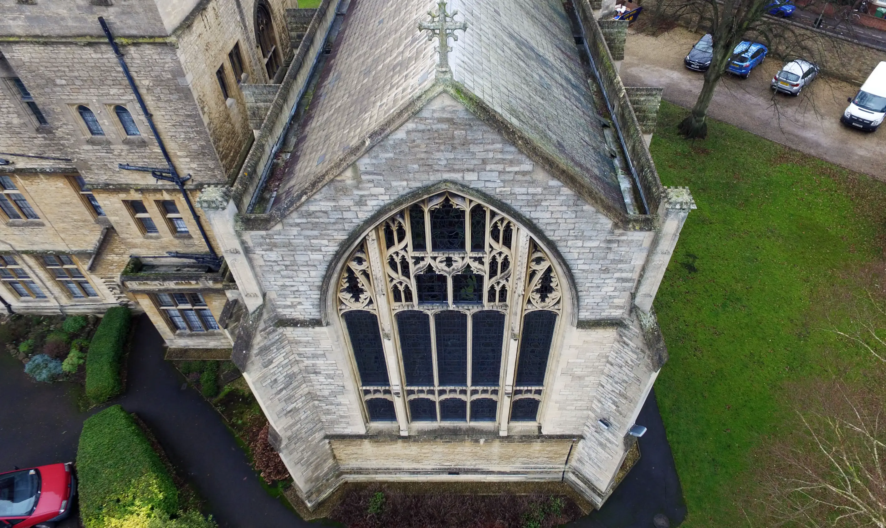
Our commercial drone roof surveys are carried out across the Thames Valley and nearby counties, including Berkshire, Buckinghamshire, Essex, Gloucestershire, Hampshire, Kent, Northamptonshire, Oxfordshire, Surrey, Sussex, and Warwickshire.

Regular towns that we work in and around include Reading, Slough, High Wycombe, Basingstoke, Oxford, Banbury, Guildford, Brighton, Chichester, Crawley, Horsham, and Warwick. If your estate crosses county lines, we can plan a practical route that suits your schedule.

Why Choose Us For Commercial Drone Roof Surveys

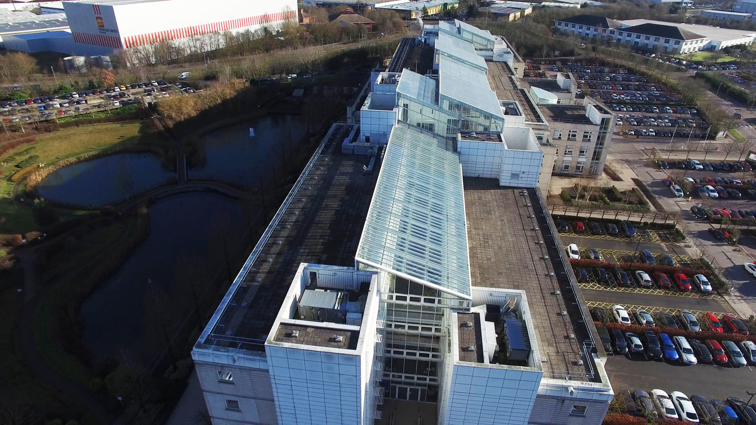
Thames Valley Drones will always focus on safe access, clear outcomes, and practical planning when it comes to commercial drone roof surveys. Our surveys can provide safer access at height without scaffolding or elevation platforms, keeping disruption low around entrances and car parks, and producing clear visuals that support decisions.

Scheduling is straightforward and flexible around live-sites, and our Thames Valley base means we cover nearby counties efficiently.

Our Other Drone Services

Alongside roof surveys, we offer aerial photography and videography for marketing and documentation. Our land surveying and 2D mapping and 3D modelling provide clear site context for planning or wayfinding / contractor familiarisation. We carry out aerial building inspections and aerial site surveys to assess conditions faster and plan safe, cost-efficient access. We also provide drone property photography, and landscape photography, so you can brief teams and share updates with confidence, as well as ground, exterior and interior photography.

Once We Get Started

Once commissioned, this is the sort of information we will need: the site address, roof type, and what you need to see, along with any access constraints or nearby hazards we should plan for. Share preferred dates, any specific timescales, and live-site considerations. If this relates to an insurance claim, include any previous images, plans, or reports. If you’d like marked-up outputs, tell us how you want items referenced (issue key, image key, or both), and any terminology your team uses in reports or work orders. Whatever your project, employing us for your commercial drone roof surveys will ensure that your job will run much more smoothly.