Professional aerial imaging
Aerial photography captures properties and sites from elevated viewpoints. We deliver imagery for roof inspections, site documentation, and planning submissions.
We work with architects, surveyors, construction teams, property owners, and estate managers. Each flight is planned to your brief, with images supplied in formats for reports, CAD packages, and presentations.
What we capture
Our aerial photography covers period properties, listed buildings, manor houses, churches, heritage sites, residential developments, commercial premises, industrial facilities, and education campuses. For roofs, we photograph coverings, chimneys, parapets, dormers, rooflights, guttering, plant areas, and access points for condition surveys and maintenance planning.
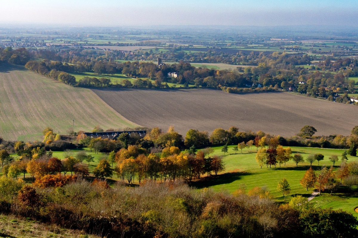
We document construction sites, development land, estates, gardens, and infrastructure projects. Service yards, delivery routes, parking areas, and site entrances are captured for logistics and access planning. It is useful for architects, roofing contractors, estate agents, building and land surveyors, and property managers.
Get In Touch