01628 436 494
Thames Valley Drones

2D Mapping & 3D Modelling

At Thames Valley Drones, we turn sites across the Thames Valley and nearby counties into 2D maps and 3D models suitable for measurement to agreed specifications for easy review. Through planned photogrammetry flights, using specialised drones and surveying software, we produce orthomosaics, surface models, and textured meshes that show form, levels, and surroundings in one clear view.

2D Mapping & 3D Modelling 

How We Do This

At Thames Valley Drones, we scope each project to your detailed requirements access, time of day and light, the site’s operational requirements, budget, timescale, and we supply outputs in agreed CAD, GIS, and viewer formats. The result is a dependable visual reference for planning, design coordination, construction documentation, and record‑keeping.

We define the survey area with you, set reference points, and review access, public routes, and nearby activity. Where appropriate, we will agree on the coordinate reference system, so outputs sit sensibly with your drawings and GIS layers. Take‑off and landing on private land are arranged with respective landowners, and any site‑specific airspace or security conditions are followed.

We carry out a formal site inspection visit and together with your requirements we produce a formal Method Statement and/or Risk Assessment. We arrange permissions with landowners or site managers, and choose sensible launch and recovery points to keep the site running smoothly and safely.

From the air, we capture a planned set of nadir and oblique images for photogrammetry. This supports map‑accurate orthomosaics, surface models, and textured 3D meshes. Resolution depends on altitude, overlap, and the surface itself, so we plan the capture for clear detail and consistent coverage. Shadows, tall vegetation, or standing water can limit what is visible, so we will adapt accordingly.

Where This Helps

2D mapping & 3D modelling support photogrammetry to create reliable models of terrain, structures, and roofscapes suitable for measurement (to predetermined tolerances); orthomosaics that provide stitched, perspective-adjusted and scale‑correct plan views for drawings and reports; current 3D digital reference models, used as a digital twin for remote review and coordination; and construction documentation through periodic models that record progress, review layouts, check earthworks, and maintain a clear visual history.

Typical applications include feasibility studies, design coordination, access planning, utility corridors, stockpile and compound checks, heritage recording, and estate management.

What Else We Do

Alongside 2D mapping & 3D modelling, we offer land surveying and mapping, drone roof inspections, aerial photography and videography, aerial building inspections, and aerial site surveys. We also provide drone property photography, and landscape photography for campaigns and archives.

Who We Work With

We support organisations that need dependable spatial context. For architects, engineers, estate agents, construction firms, and property managers, our 3D models provide a common reference to understand constraints, test options, and communicate design intent. Contractors use orthomosaics and surface models to plan logistics, sequencing, and site records. Asset and estates teams use digital reference models to review conditions remotely and schedule maintenance with less disruption. Across the Thames Valley, councils, developers, utilities, housing providers, schools, and private owners use our outputs to brief teams, coordinate activity, and report progress with clarity.

Want to get in touch with Thames Valley Drones?

Ready to plan your 2D mapping & 3D modelling project? Employing us will ensure your job run much more smoothly.

Why Choose Thames Valley Drones?

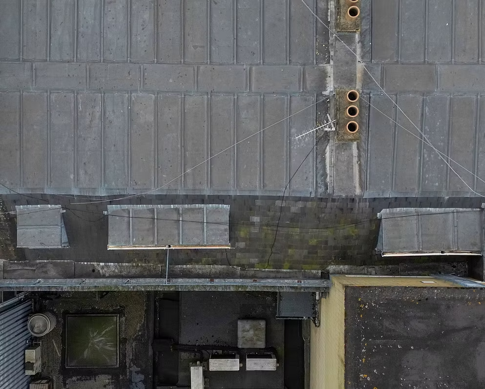
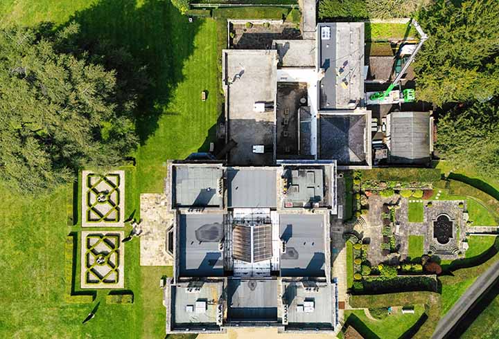
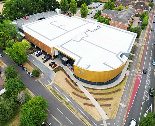
We prioritise safe access, high quality, actionable data, and practical planning. Before any flight, we check airspace and local restrictions, coordinate with your site contact, and choose suitable launch and recovery areas. Entrances, pedestrian routes, and live work zones are assessed so activity continues with minimal disruption. Capture is timed for appropriate light and weather, with alternative viewpoints agreed if conditions change. The workflow produces consistent results that are straightforward to review, compare, and integrate with your existing plans.

Which Areas Do We Work in?

We cover Berkshire, Buckinghamshire, Oxfordshire, Hampshire, Surrey, Warwickshire, and Sussex. We can go slightly further afield, but the Thames Valley is the main area for our team

3D Mapping & Modelling

If you want to get started with a project such as this, then get in touch. You will need to tell us the site address, survey area, and what needs to be mapped. Note any access constraints or nearby hazards, share preferred dates and any live-site considerations, include drawing references or coordinate needs for construction documentation, and, if this relates to an insurance claim, add any previous images, plans, or reports.

What Else Do We Use Our Drones For?

Alongside 2D mapping & 3D modelling, we offer aerial site surveys, drone roof inspections, and aerial building inspections as well as aerial photography and videography, land surveying, 2D mapping, 3D modelling, and roof inspections. We also provide drone-based aerial photography and videography, property photography, and landscape photography for campaigns and archives.